


USGS says it will be the mapping the region’s geology.
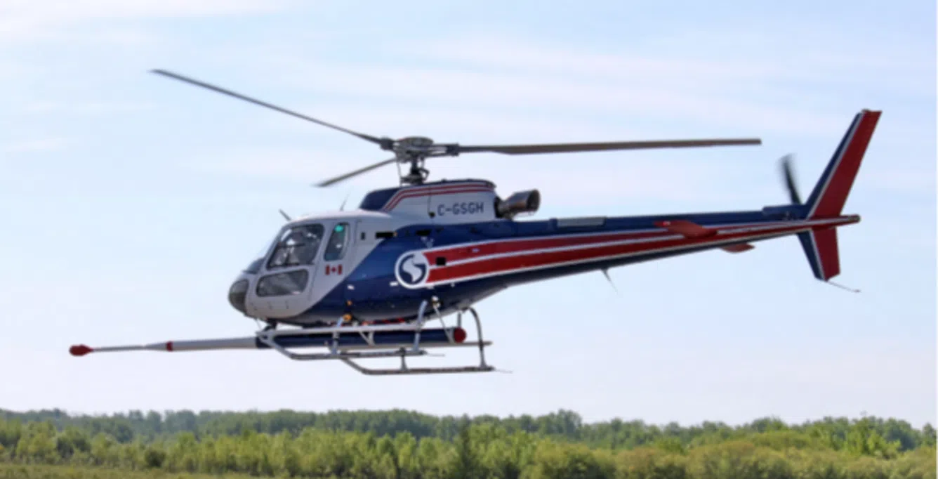
Washington DC. (KM) – Residents in parts of Maryland, Pennsylvania, Virginia and West Virginia may notice some low flying helicopters and airplanes beginning the middle of August. The US Geological Survey says these flights will be imaging the geology below and on the surface using airborne geophysical technology. The flights could last through January, 2023.
USGS says instruments on board the aircraft will measure variations in the Earth’s magnetic field and natural low level radiation created by different rock types several miles beneath the surface. The agency says these instruments don’t pose a risk to humans, animals or plant life, and no photographs or video will be taken.
The airplanes and helicopters will fly at an altitude of between 300 to 1,000 feet above the surface. The pilots are experienced in low flights All of these flights will occur during the daylight hours, and will be based out of Cumberland, Maryland.
These flights are coordinated with the Federal Aviation Administration and conducted under US law, USGS says.
USGS says the survey will cover parts of Frederick, Carroll, Washington, Montgomery and Howard Counties in Maryland; Adams County in Pennsylvania; Loudon County, Virginia.; and Berkeley and Jefferson Counties in West Virginia.
By Kevin McManus


